Publication
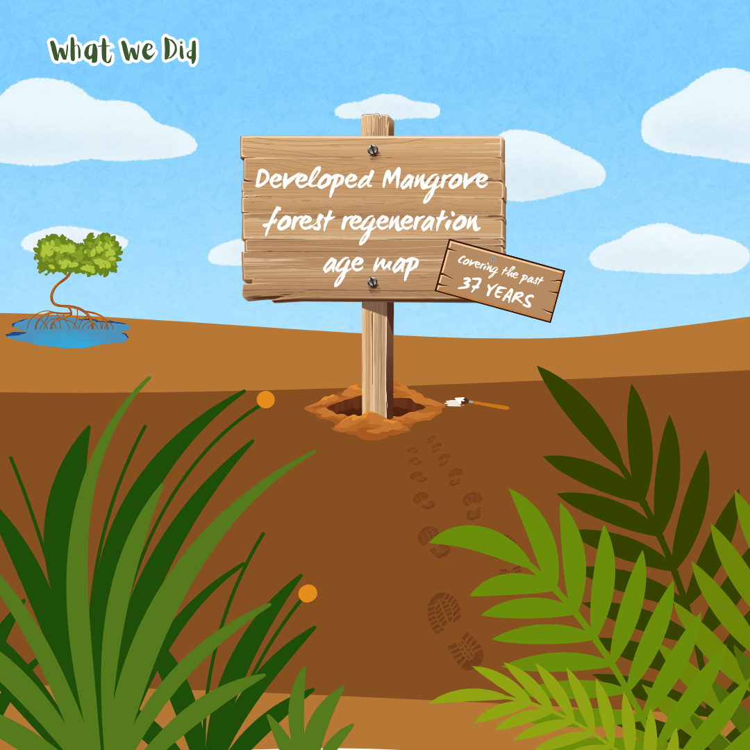
Mangrove forest regeneration age map and drivers of restoration success in Gulf Cooperation Council countries from satellite imagery
Midhun Mohan, Abhilash Dutta Roy, Jorge F. Montenegro, Michael S. Watt, John A. Burt, Aurelie Shapiro, Dhouha Ouerfelli, Redeat Daniel, Sergio de-Miguel, Tarig Ali, Macarena Ortega Pardo, Mario Al Sayah, Valliyil Mohammed Aboobacker, Naji El Beyrouthy, Ruth Reef, Esmaeel Adrah, Reem AlMealla, Pavithra S.Pitumpe Arachchige, Pandi Selvam, Wan Shafrina Wan Mohd Jaafar
Abstract
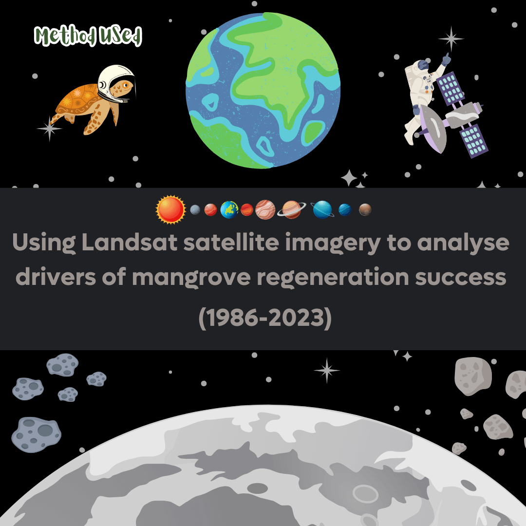
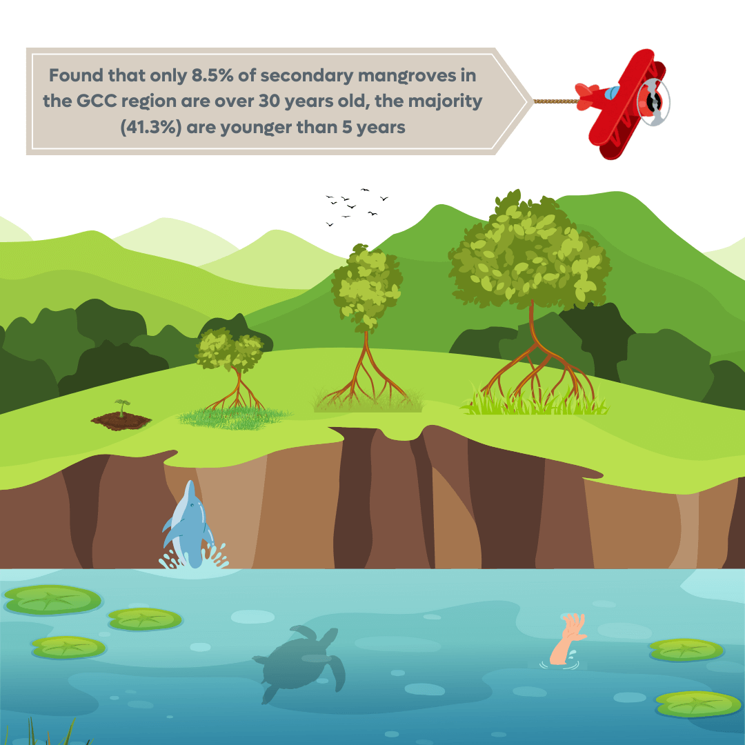
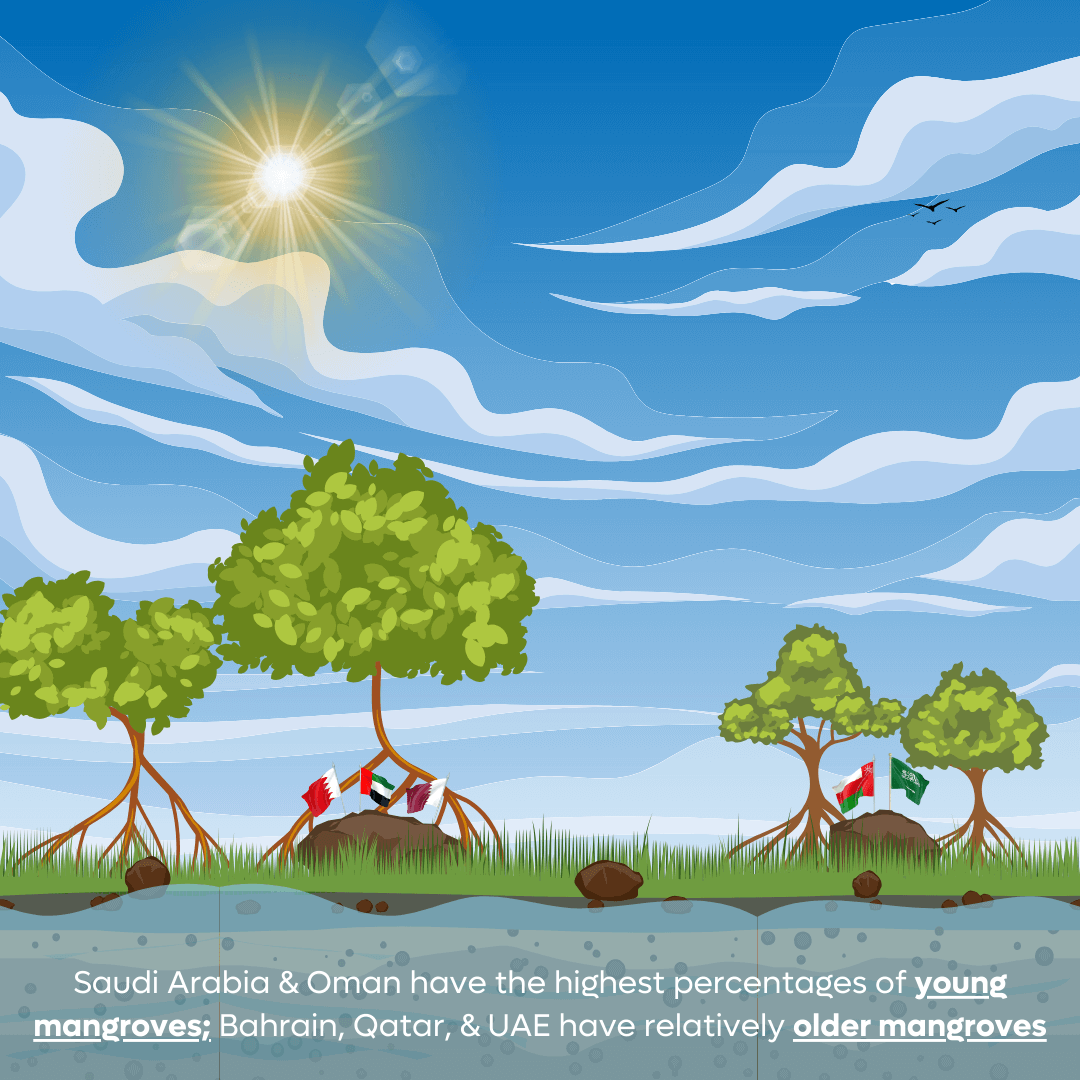
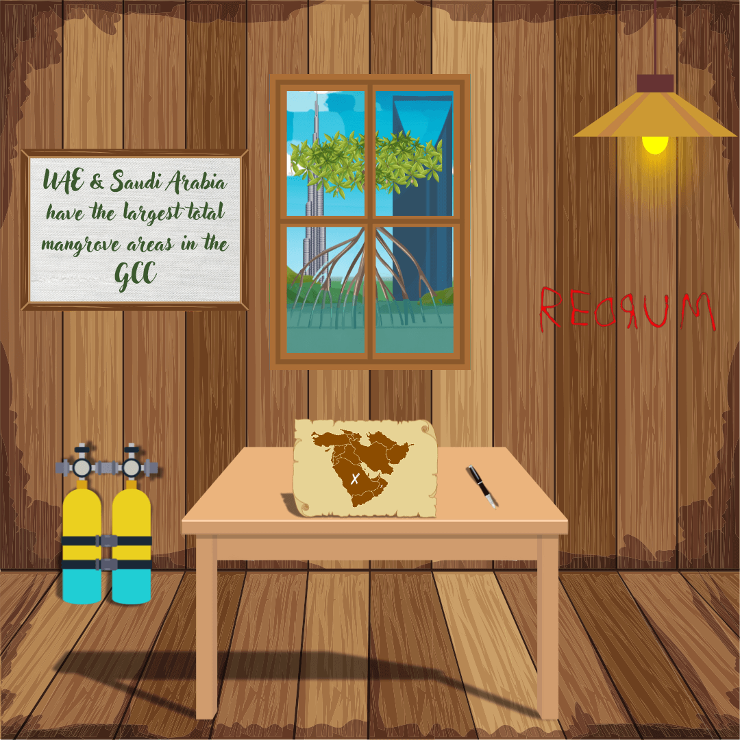
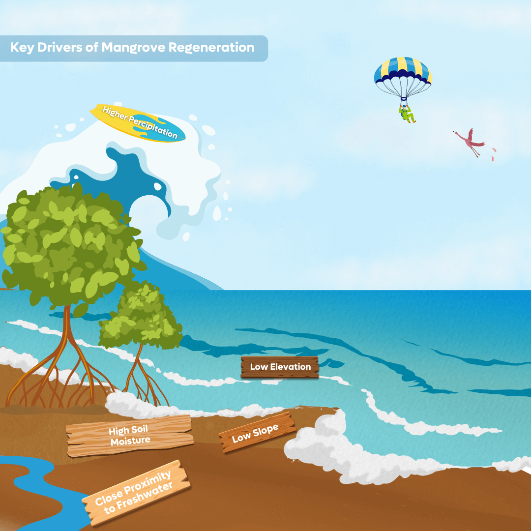
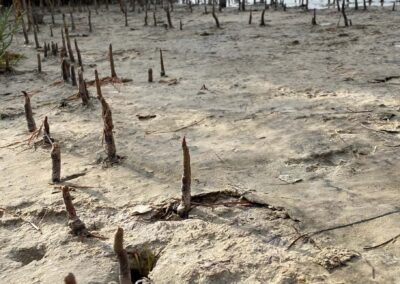
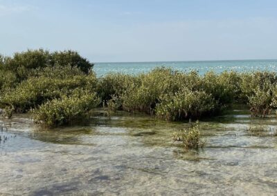
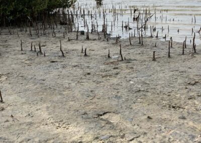
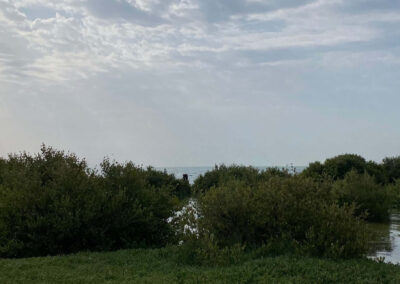
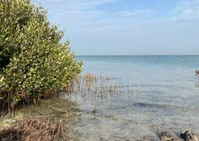
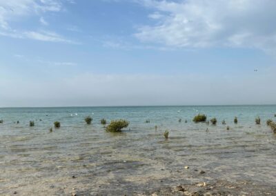
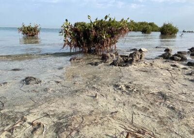
Mangrove forests are found across the Gulf Cooperation Council (GCC) region despite challenging environmental extremes, including highly variable temperatures and hypersalinity. Understanding the biophysical and anthropogenic factors that influence mangrove forest growth is key to locate suitable areas for regeneration and afforestation activities. The main objectives of this study were to develop a mangrove forest regeneration age map that represents the age of all the existing secondary mangroves in the past 37 years (1986–2023). Long-term Landsat satellite imagery, the random forest classification algorithm, and logistic regression analyses were used to identify the existing secondary mangroves and determine the underlying drivers that contribute to the successful afforestation of mangroves in the region. Our results showed that only around 8.5% of secondary mangrove forests in the GCC region were older than 30 years, with mangroves younger than 5 years being the most abundant age class (41.3%). Saudi Arabia and Oman have the highest percentages of young mangroves, while relatively older secondary mangrove forests were most common in Bahrain, Qatar, and UAE. The current trends in overall mangrove area show that the UAE and Saudi Arabia have the largest total mangrove area among the GCC countries, followed by Qatar, Oman, Bahrain, and Kuwait. The results of the stepwise logistic regression show that the main drivers that influence mangrove regeneration are lower elevation, lower slope, higher available soil moisture, lower average temperatures, higher precipitation, greater proximity to freshwater sources, lower population density and greater distance from agricultural and urban areas. Our results aim to offer support to decision-making in selecting optimal areas for new planting initiatives in the region.
Explained Simply:
Click on image to Zoom

Gallery
| Original language | English (US) |
|---|---|
| Article number | 101345 |
| Journal | Remote Sensing Applications: Society and Environment |
| Volume | 36 |
| State | Published – Nov 2024 |
Citations
- Ewane, B. E., Selvam, P. P., AlMealla, R., Watt, M. S., Pitumpe Arachchige, P. S., Bomfim, B., Wan Mohd Jaafar, W. S., Salehian, S., Ali, T., Manickam, N., Abdullah, M. M., Westover, S., & Mohan, M. (2025). Journal of Environmental Management, 342, 124074. https://doi.org/10.1016/j.jenvman.2025.124074
- Mohan M, Roy AD, Montenegro JF, Watt, MS, Burt JA, Shapiro A, Ouerfelli D, Daniel R, de-Miguel S, Ali Tarig, Pardo MO, Al Sayah M, Aboobacker VM, El Beyrouthy N, Reef R, Adrah E, AlMealla R, Arachchige P, Selvam P, Jaafar WSWM, Sujud L, Bahzad J…….Cardil A & Chambers JQ (2024) Mangrove forest regeneration age map and drivers of restoration success in Gulf Cooperation Council countries from satellite imagery. Remote Sensing Applications: Society and Environment, 28: 101345. https://doi.org/10.1016/j.rsase.2024.101345
")
Follow Us
Phone
(+973) 3221 1881
Opening Hours
Sun-Thu: 9 AM – 5 PM
Address
Office 43, Building 3050, Road 7544, Block 575,
Janabiyah, Bahrain